Hurricane Ian strikes Cuba, Florida braces for Cat 4 damage
Last edited Tue Sep 27, 2022, 12:42 PM - Edit history (1)
Source: AP
HAVANA (AP) — Hurricane Ian tore into western Cuba on Tuesday as a major hurricane, with nothing to stop it from intensifying into a catastrophic Category 4 storm before it crashes ashore Wednesday in Florida, where officials ordered 2.5 million people to evacuate. Ian made landfall at 4:30 a.m. EDT Tuesday in Cuba’s Pinar del Rio province, where officials set up 55 shelters, evacuated 50,000 people, rushed in emergency personnel and took steps to protect crops in the nation’s main tobacco-growing region.
The U.S. National Hurricane Center said “significant wind and storm surge impacts” occurred Tuesday morning in western Cuba. Ian struck with sustained top winds of 125 mph (205 kmh). As much as 14 feet (4.3 meters) of storm surge was predicted along Cuba’s coast. Ian was forecast to strengthen even more over warm Gulf of Mexico waters, reaching top winds of 140 mph (225 kmh) as it approaches Florida’s southwest coast.
Tropical storm-force winds were expected across the southern peninsula late Tuesday, reaching hurricane force Wednesday morning. “Right now we’re focusing on west central Florida area as the main area for impact,” hurricane specialist Andy Latto told The Associated Press on Tuesday.
With tropical storm-force winds extending 115 miles (185 kilometers) from Ian’s center, damage was expected across a wide area of Florida, regardless of where Ian makes landfall. The hurricane center expanded its storm surge warning to the peninsula’s Atlantic coast, and expanded its tropical storm warning from Boca Raton to Brunswick, Georgia — a distance of about 375 miles (603 kilometers).
Read more: https://apnews.com/article/hurricanes-nfl-sports-cuba-storms-7975f44228a6d44a86cb945e856240d8

Article updated. Last updates/headlines -
The U.S. National Hurricane Center said "significant wind and storm surge impacts" were occurring Tuesday morning in western Cuba. Ian sustained top winds of 125 mph (205 kmh) as it moved over the city of Pinar del Rio. As much as 14 feet (4.3 meters) of storm surge was predicted along Cuba's coast. Ian was forecast to strengthen even more over warm Gulf of Mexico waters, reaching top winds of 140 mph (225 kmh) before making landfall again. Tropical storm-force winds were expected in Florida late Tuesday, reaching hurricane force Wednesday morning.
The hurricane center said there's a 100 percent chance of damaging tropical storm force winds and water along Florida's west coast, and expanded its hurricane warning, from Bonita Beach north through Tampa Bay to the Anclote River. Tampa and St. Petersburg could get their first direct hit by a major hurricane since 1921. "Please treat this storm seriously. It's the real deal. This is not a drill," Hillsborough County Emergency Management Director Timothy Dudley said Monday at a news conference on storm preparations in Tampa.
While Ian's center passed over western Cuba, with tropical storm force winds extending outward 115 miles (185 kilometers), Cuba's capital was getting rain and strong gusts Tuesday morning. Havana's residents openly worried about flooding ahead of the storm, with workers unclogging storm drains and fishermen taking their boats out of the water.
HAVANA (AP) -- A strengthening Hurricane Ian's rain and winds lashed Cuba's western tip, where authorities have evacuated 50,000 people, as it became a major Category 3 storm early Tuesday and roared on a path that could see it hit Florida's west coast as a Category 4 hurricane.
The storm made landfall early Tuesday in Cuba's Pinar del Rio province, where officials set up 55 shelters, rushed in emergency personnel and took steps to protect crops in Cuba's main tobacco-growing region. The U.S. National Hurricane Center said the island's west coast could see as much as 14 feet (4.3 meters) of storm surge.
"Cuba is expecting extreme hurricane-force winds, also life-threatening storm surge and heavy rainfall," hurricane center senior specialist Daniel Brown told The Associated Press. After passing over Cuba, Ian was forecast to strengthen further over warm Gulf of Mexico waters before reaching Florida as early as Wednesday as a Category 4 storm with top winds of 140 mph (225 km/h).
As of Monday, Tampa and St. Petersburg appeared to be the among the most likely targets for their first direct hit by a major hurricane since 1921. "Please treat this storm seriously. It's the real deal. This is not a drill," Hillsborough County Emergency Management Director Timothy Dudley said Monday at a news conference on storm preparations in Tampa.
Original article -
The U.S. National Hurricane Center said in a 4:30 a.m. EDT (0830 GMT) update that Ian hit Cuba as a Category 3 storm as it continued to strengthen, with sustained winds of 125 mph (205 km/h).
Authorities in Cuba evacuated more than 50,000 people in Pinar del Rio province, the country's main tobacco-growing region, ahead of Ian's arrival, which was expected to bring flooding and heavy rainfall. The government also set up dozens of shelters in the island.
The hurricane is expected to strike Florida as early as Wednesday, possibly as a Category 4 hurricane.
 = new reply since forum marked as read
Highlight:
NoneDon't highlight anything
5 newestHighlight 5 most recent replies
= new reply since forum marked as read
Highlight:
NoneDon't highlight anything
5 newestHighlight 5 most recent replies

Old Crank
(3,589 posts)For slowing the build up of the hurricane. Without Cuba in the way the storm might have been a number higher on the scale..

BumRushDaShow
(129,068 posts)that other parts have so it's not going to impact it as much (although I know the people living there and getting pummeled...  ).
).
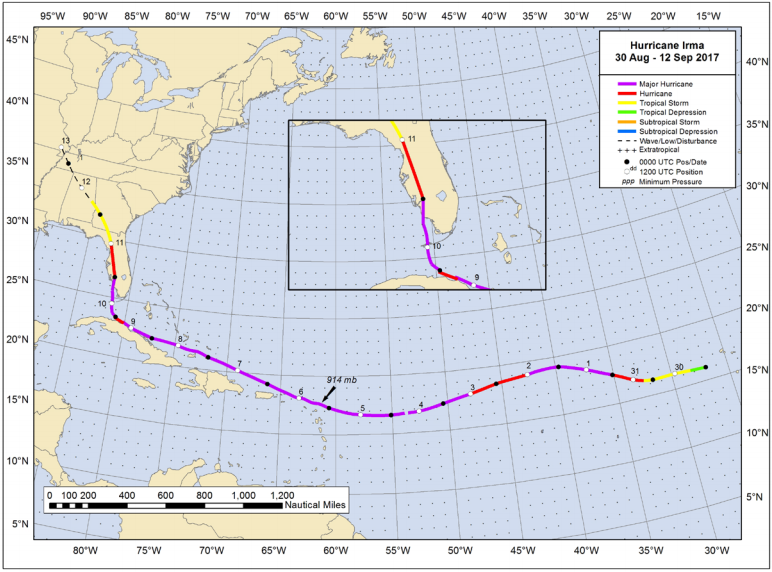
When Irma was headed towards FL, it actually scraped along the northern coast of Cuba (and the Ukie actually predicted that) and that seemed to disrupt it more than expected before it hit the wall of the steering flow, and made the turn north, and Tampa was really able to dodge the bullet because it didn't recover as much as it could have.
Response to BumRushDaShow (Original post)
Old Crank This message was self-deleted by its author.

KY_EnviroGuy
(14,492 posts)From: NATIONAL HURRICANE CENTER, https://www.nhc.noaa.gov/

This one is frightening as hell and only covers through early Sunday.....
U.S. Rainfall potential:

Good thoughts and hope for no peril to all those in the path of this monster. Flooding looks to be potentially horrific.
Can't imagine 1-1/2 foot of rain on Tampa and a foot on JAX.
KY......

TeamProg
(6,138 posts)but non-threatening b/c I could see the forecast was clearer.

justgamma
(3,666 posts)Right near Tampa Bay. I'm really worried. Her guy is going to stay in their mobile home, but she's going to a friends home. Her workplace has no plans for the storm and she's scared.
KY_EnviroGuy
(14,492 posts)Possibility of huge storm surge in the Bay and at least Cat 3 winds. Probably no power or communications and maybe even tap water for days or even weeks. This thing is projected to go right up the coast, so repair and emergency services will be spread thin.
As many other have found out by experience, it just ain't worth the risk and misery. Think Katrina.
Best of luck to your daughter and her friends......

Justice matters.
(6,929 posts)Heading towards the Keys & Tampa Bay as a CAT 4 monster. 
https://www.nhc.noaa.gov/storm_graphics/AT09/refresh/AL092022_5day_cone_no_line_and_wind+png/100939_5day_cone_no_line_and_wind.png
BumRushDaShow
(129,068 posts)The "short" plowing through the narrower part of Cuba knocked it down a bit but it it still a Cat3 witih 115 mph winds.

And because it is crawling at 10 mph, that doesn't bode well as it will have time to get pumped full of that warm water to intensify.

Seems the "small" and compact but strong Hurricane Charley back in 2004, had a similar path - ,

In fact, some of the local news sites down there are noting this and making the comparison - https://www.fox35orlando.com/news/ian-forecast-to-take-nearly-the-same-path-across-florida-as-2004s-disastrous-hurricane-charley

Response to BumRushDaShow (Original post)
TeamProg This message was self-deleted by its author.
Response to BumRushDaShow (Original post)
TeamProg This message was self-deleted by its author.
electric_blue68
(14,906 posts)I have one long time acquaintance and two newish ones living right in the path.