The DU Lounge
Related: Culture Forums, Support ForumsBest landing strip I've ever seen!
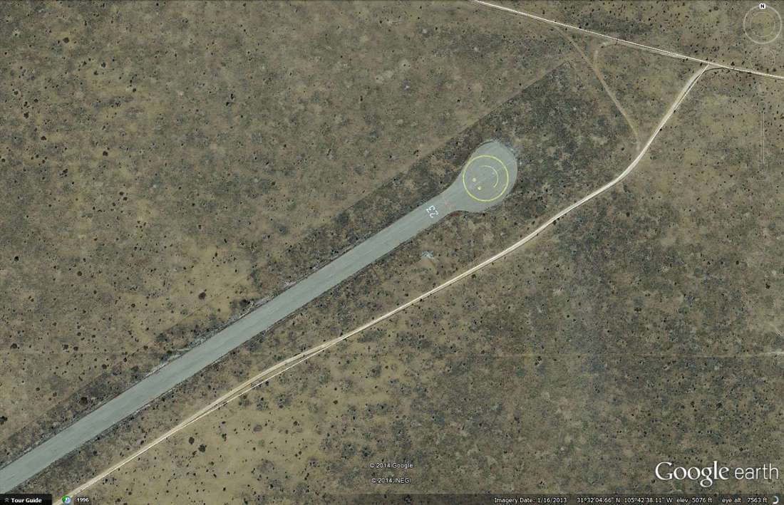
31º 32’ 09.63” N, 105º 42’ 37.23” W
The things found on Google Earth some days!

 = new reply since forum marked as read
Highlight:
NoneDon't highlight anything
5 newestHighlight 5 most recent replies
= new reply since forum marked as read
Highlight:
NoneDon't highlight anything
5 newestHighlight 5 most recent replies

sharp_stick
(14,400 posts)It's a long runway I wonder if it has a military connection?

kentauros
(29,414 posts)By the look of one wingless fuselage near their sheds, it's likely a runway for small jets. I'm not a pilot, so I don't know planes by just looking at them. But, you can tell when a strip is for little or lightweight prop planes and when it's for jets just by the length, and often by the general upkeep of the pavement. Prop planes can land on grass and dirt, something you can't do (or maybe not well) with a jet 

steve2470
(37,457 posts)Are there ranchers out there ? I have no idea about TX.
kentauros
(29,414 posts)is either ranchers or oil producers. Probably a little of both for some of them. Also, windfarms, but those are going to be owned by bigger companies. This image is in the middle of ranch land, and you'll see more little "airports" tagged on GE spotted all over.
I don't fly, but have found a bit of fascination with some of these strips, often abandoned. Most of the little ones are for ranchers. Any long and wide abandoned strips were likely military.
One of the weirdest images I've seen was either in eastern California, or western Arizona. It was like a massive subdivision that never got beyond the grading of the streets from the layout presented. Some of the streets are even named, yet there's nothing built anywhere. It's like a huge not-quite-realized ghost town

CBGLuthier
(12,723 posts)what with the tone of the last few days.
kentauros
(29,414 posts)on GE, then I could post it for you 
Wounded Bear
(58,666 posts)
kentauros
(29,414 posts)