Democratic Underground Latest Greatest Lobby Journals Search Options Help Login
Google

How do we fill in the last 3/4 mile of Franklin-South Fork Bike Trail?

Printer-friendly format Printer-friendly format
Printer-friendly format Email this thread to a friend
Printer-friendly format Bookmark this thread
Home » Discuss » DU Groups » Recreation & Sports » Bicycling Group Donate to DU
 
happyslug Donating Member (1000+ posts) Send PM | Profile | Ignore Wed Apr-02-08 09:29 PM
Original message
How do we fill in the last 3/4 mile of Franklin-South Fork Bike Trail?
Edited on Wed Apr-02-08 09:48 PM by happyslug
Basically when it comes to the Conemaugh River Gap, The trail is mostly through it, the problem is the last 3/4 of a mile from the end of the trail in Franklin Borough PA, from which you can peddle by low volume roads to Johnstown Itself, and the Staple Bend Tunnel at the end of the Trail from Mineral Point. From Mineral point you cross under the Main line of the old Pennsylvania Railroad (Now Norfolk and Southern) to the old right of way for the Southern Cambria Railway (A Inter-urban Electric Railway built in 1905 and closed in 1926). Look elsewhere on this forum for pictures of it by me.

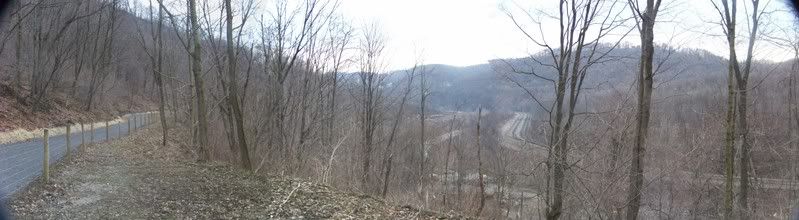
From Franklin Borough The trail is quite nice, along the Mountain side for the valley is reserved for the railroad and the Little Conemaugh River:


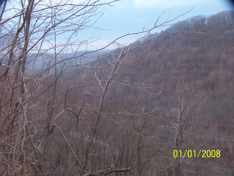
Looking down the Valley, toward Johnstown, you see the bike trail to your left, in the valley floor you see the Mainline of the Old Pennsylvania Railroad, clearly to the Right. You have a lot of trees in your way to see what is to the Main line left, but to its left you see the Little Conemaugh River and then the Rail-lines for the "Conemaugh and Blacklick railroad" more often called the Blacklick. The Conemaugh and Blacklick do NOT go through the entire gap. The Blacklick tracks stop just pass the Staple bend tunnel. The Blacklick store cars built by the Car Shop (Freight cars for the railroads) on those tracks before such cars are shipped out of town.


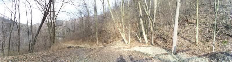
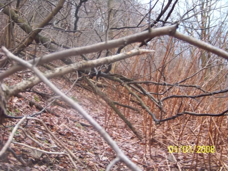
At the end of the present trail from Franklin Borough you have three choices, first is down hill to the road along the tracks for the Conemaugh and Blacklick railroad (See below by the trial going downhill). The second choice is to go straight along an old water pipeline. The third is to climb uphill, to over twice as high as the middle trail and take some old logging roads.


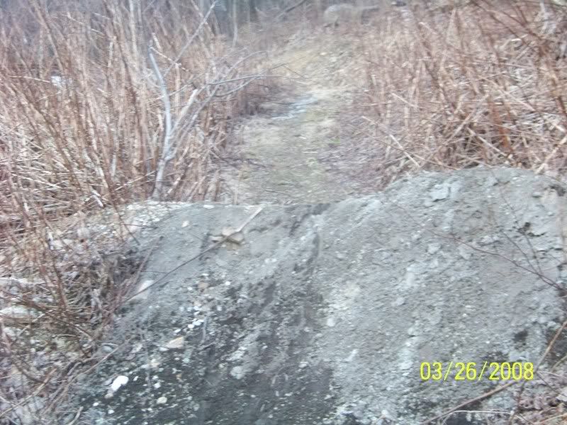
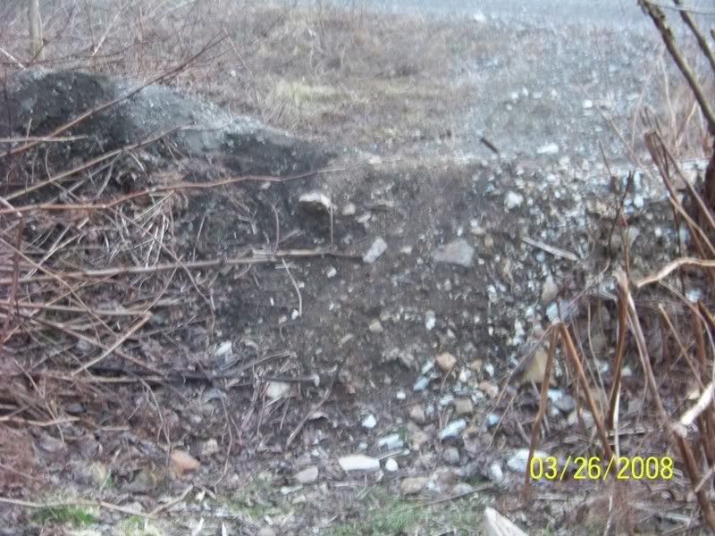
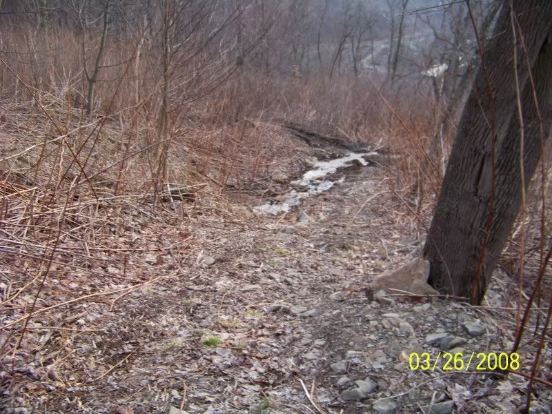
Each option has its problems. The lower trail is the easiest to use right now, but the Blacklick Railroad has dump large piles of Dirt to prevent dirt bikers from getting on their property. I do NOT see them agreeing to the move but it is the easiest to build.

Pictures of the Dirt Mounds:


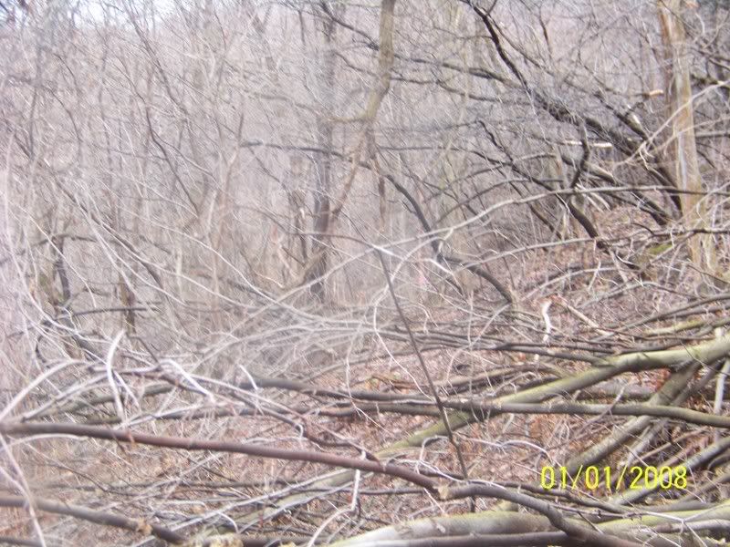
The Middle trial is the least developed, but if built will be the second easiest to bike (The lower trail would be the easiest, but see above about the potential Blacklick Railroad objections).

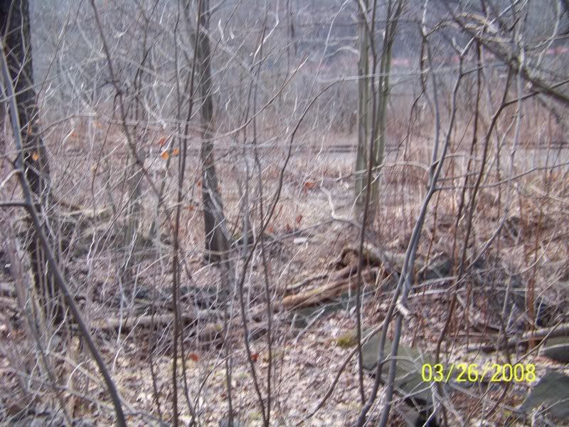
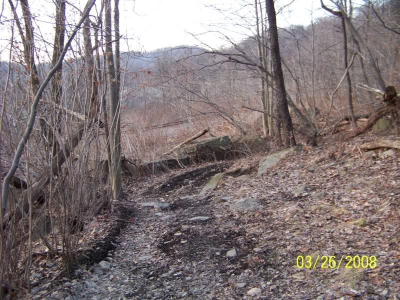
Looking down from the Middle trial onto the lower trail, and the paved road the lower trail would be on:


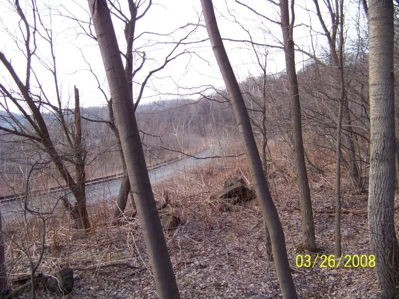
Another picture further on the Middle trail of the lower trail:


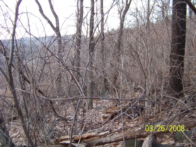
Even after a hard winter you have a lot of brambles on the Middle Trail:


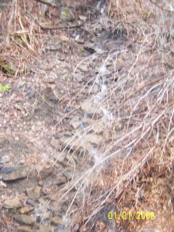
And several streams of water that has to be addressed (i.e. a pipe under the trail be built for the streams to run under the trail not on the trail):


The Upper trail has the best view but is a climb:

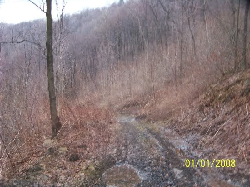
The start of the Upper Trail:


Where the Upper trail goes downhill, another road continues up the Mountain:


As you near the Stable bend Tunnel, the Middle and Upper trails merge together:


Picture of Lower trail from where the Upper and middle trail meet:


Looking to Johnstown from the same point, you see the lower trail to your right, the other trails are to your front (And over grown).

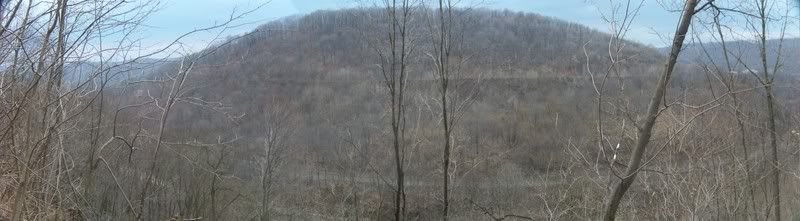
The target of all three trails, the base of Incline #1 that when the Old Portage railway was in use (1830s-1854) Looking up to the Stable Bend tunnel, where the Incline stopped and the cars were transferred to a Steam Locomotive to take them to Incline #2 about 3-4 miles ahead.

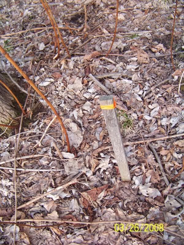
Some of the old Survey Markers from about 2000, when the Middle route was first proposed, but still not built:


Please the dates on the Pictures are the Dates I took the pictures EXCEPT the one marked 1/1, those were taken last week, but I had forgotten to reset the clock on my Camera so the bad date.
Refresh | 0 Recommendations Printer Friendly | Permalink | Reply | Top
Fovea Donating Member (1000+ posts) Send PM | Profile | Ignore Sun Apr-20-08 02:14 AM
Response to Original message
1. I think the Middle Route
looks the easiest to maintain.
What sort of surface are you considering?
Printer Friendly | Permalink | Reply | Top
 
happyslug Donating Member (1000+ posts) Send PM | Profile | Ignore Sun Apr-27-08 10:19 PM
Response to Reply #1
2. The rest of the trail has very fine gravel. Easy to bike on.
Edited on Sun Apr-27-08 10:30 PM by happyslug
The issue is NOT the surface, but which route to take. After I took the above picture I found an article in the local paper discussing the same topic, in that one someone suggested using the old Southern Cambria Railway instead. The Southern Cambria Railway went on the opposite mountain side of this valley. The problem with it is that as the old railway right of way nears Conemaugh Borough, it disappears (I believe it was filled over when Pa 271 was built over it).

If you look at my picture looking across the valley you will see PA 271 climbing up the hillside. The Southern Cambria Railway was and is below that Roadbed. You can barely make it out in some of the pictures. Using it instead of expanding on the Stable Bend Tunnel side, has promises. Right now the bike trail to to go from Johnstown to Mineral point via the Staple Bend tunnel, and then cross UNDER the railroad and over the little Conemaugh River. At that point the trail goes on the Southern Cambria Right of way to South Fork, re-cross the Little Cinema River on a public Bridge and follow PA 53 to Cresson and Altoona. The trail between Mineral point and South Fork is already completed (And PA 53 follows the old Portage Railway). Now the Southern Cambria Railway is a relatively flat trail (The Southern Cambria being an 1905 built Interurban trolley line is NOT as flat as the Trail AFTER the Stable Bend Tunnel, but it flat when compared to most routes in this area). Thus the Southern Cambria route is NOT as flat as the Staple Bend Tunnel trail, nor PA 53 from South Fork to Incline #2 (the second incline on the old Pennsylvania Canal).

The problem is NOT uphill from South Fork, that is almost already done, PA 53 is NOT that busy a road and is flat till Incline #2 (Which is steep and long, but then flat again). The Railway between Inclines #2 and Incline #3 is almost still in use as a flat public Road. PA 53 then goes gradually up to Cresson, where you can catch the New Trail being build between Incline #6 and 10 (of which I will post later). Thus no serious problem exists on the line EXCEPT for the Johnstown to Mineral Point section. Once done you can bike from Johnstown to Altoona at a very gradual rate of climb. Thus we keep coming back to this breach in the line of the path and how to solve it. The other issues are minor in comparison.

For more on the Southern Cambria, here is my post last year on the Southern Cambria. I have newer pictures but I have NOT added them to my photobucket account to put on the net, so the following cite is from 2006-2007:
http://www.democraticunderground.com/discuss/duboard.php?az=view_all&address=324x1488
Printer Friendly | Permalink | Reply | Top
 
DU AdBot (1000+ posts) Click to send private message to this author Click to view 
this author's profile Click to add 
this author to your buddy list Click to add 
this author to your Ignore list Thu May 16th 2024, 01:47 PM
Response to Original message
Advertisements [?]
 Top

Home » Discuss » DU Groups » Recreation & Sports » Bicycling Group Donate to DU

Powered by DCForum+ Version 1.1 Copyright 1997-2002 DCScripts.com
Software has been extensively modified by the DU administrators


Important Notices: By participating on this discussion board, visitors agree to abide by the rules outlined on our Rules page. Messages posted on the Democratic Underground Discussion Forums are the opinions of the individuals who post them, and do not necessarily represent the opinions of Democratic Underground, LLC.

Home  |  Discussion Forums  |  Journals |  Store  |  Donate

About DU  |  Contact Us  |  Privacy Policy

Got a message for Democratic Underground? Click here to send us a message.

© 2001 - 2011 Democratic Underground, LLC